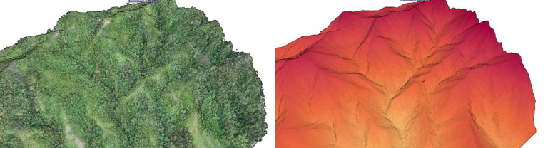
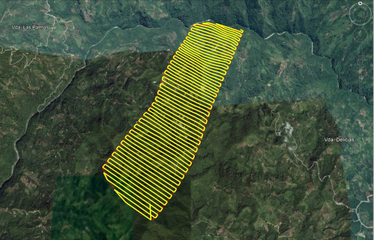
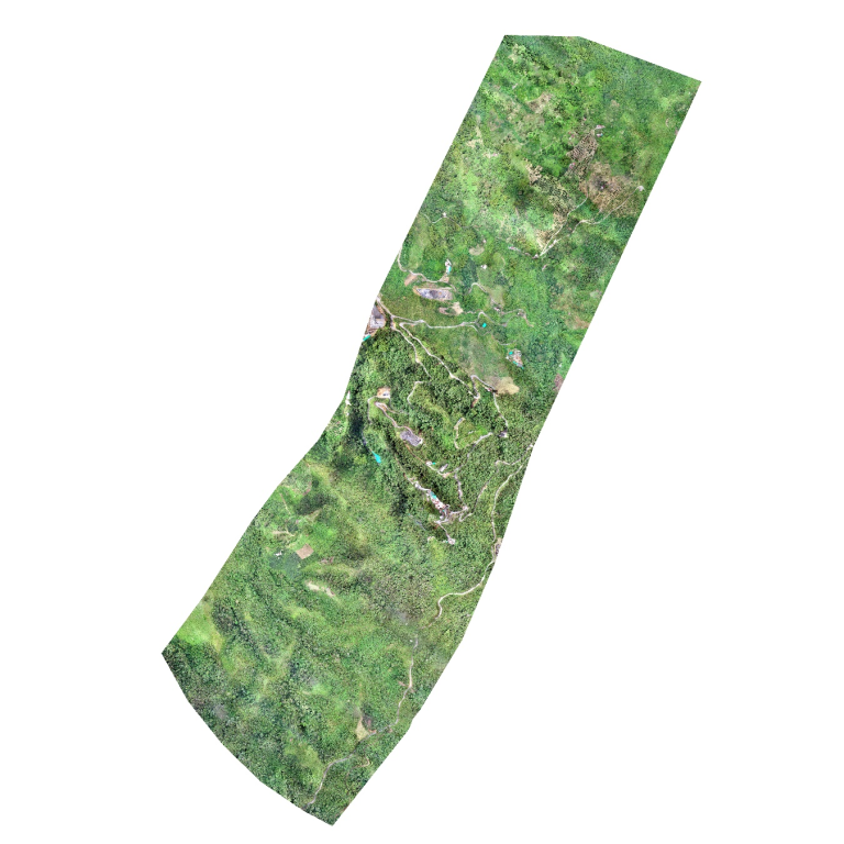
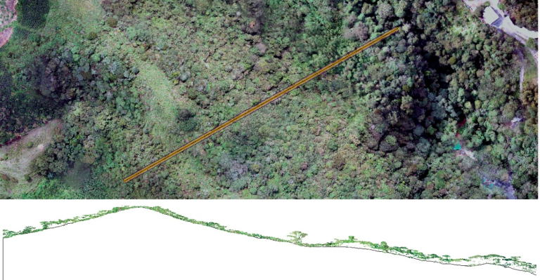
We conducted a LiDAR survey of 800 hectares in the municipality of Líbano, Tolima, a region characterized by its rugged topography and dense vegetation. With this information, we generated a high-precision elevation model with contour lines every 20 cm.