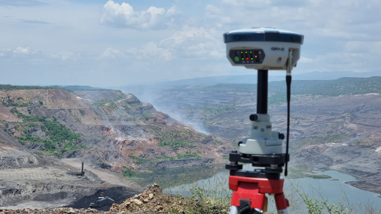
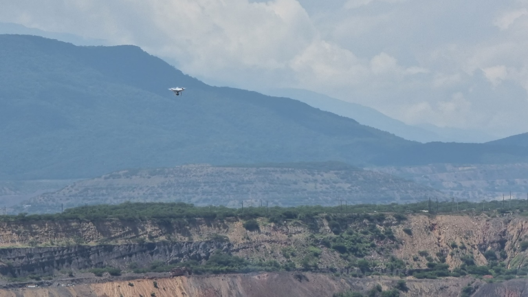
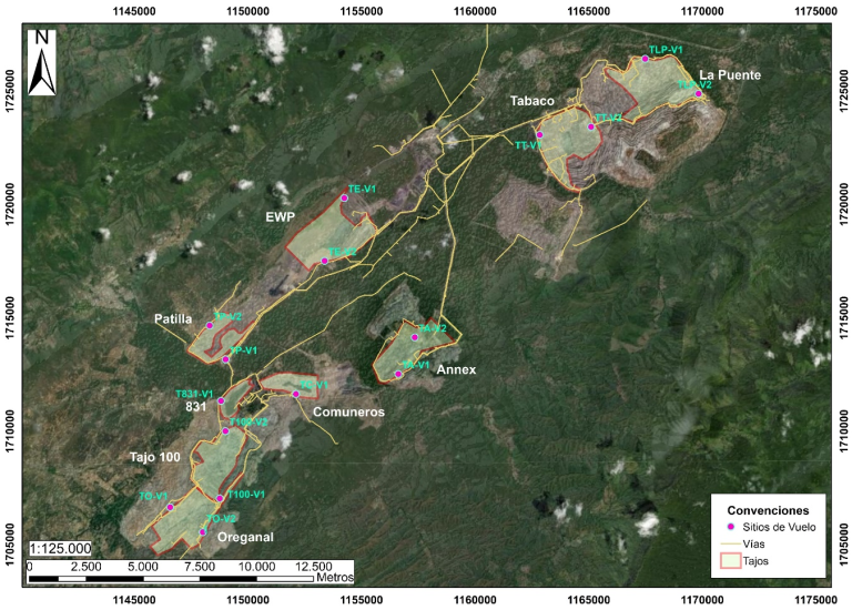
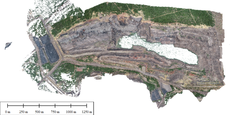
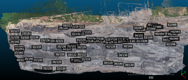
We conducted a photogrammetric survey using a drone in nine active mining pits at the El Cerrejón mine in La Guajira, Colombia. Based on the generated point clouds, we performed a detailed geological analysis, measuring fracture directions to optimize the geotechnical management of the deposit. In total, an area of 3,930 hectares was covered, providing key information for mining stability and safety.